Wildfires are increasing globally and can affect human health through various routes. These include diseases caused by air pollution, acute injuries, and disruption of healthcare, support networks, and nutrition. For some routes, the risk may depend on individual and community socioeconomic status, quality of housing and local infrastructure.

The aim of this project is to map spatial patterns of wildfire health impact in Africa and investigate geospatial indicators of vulnerability to better understand the inequalities of these impacts. The project will involve the application of methods from spatiotemporal statistics and machine learning to various survey-based and remote sensing-derived data sources, aiming to characterise population exposure and vulnerability.


Duration: 2024-2028


Image: This FIRMS map of Africa from January 31, 2022.  Most of the red dots are small agricultural fires detected by the VIIRS and MODIS sensors. Credit: NASA FIRMS.
Leadership Team

This project focuses on the application of artificial intelligence (AI) and Earth Observation technologies to quantify emission plumes from landscape fires. AI algorithms have proven effective in processing vast amounts of remote sensing data efficiently. The primary goal of this project is to use AI to detect useful fire plumes, which can then be analysed the relationship between fire radiative power (FRP) and fire emissions. We aim to derive more accurate emission coefficients and explore how these coefficients vary over time, across different seasons, or in different regions.

Duration: 2023-2026

Image by Saiho from Pixabay

Leadership Team

Peatlands are the world’s largest store of terrestrial carbon, an equivalent of around 2/3 of the carbon in the atmosphere is stored in boreal peatlands alone. Peatlands also support critical biodiversity and help protect from floods and drought. Wildfires pose an existential risk to peatlands and, since carbon is never fully re-sequestered, the climate. Estimates of emissions in literature don’t account for various critical determining factors, such as moisture content, carbon mineralisation, and metal content, as well as the dynamics of the water-table and peat surface.

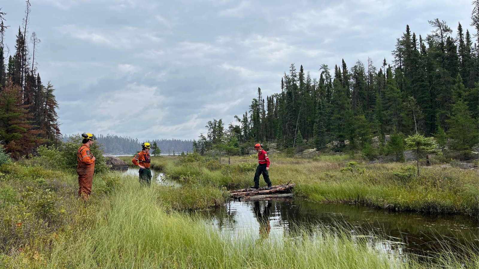
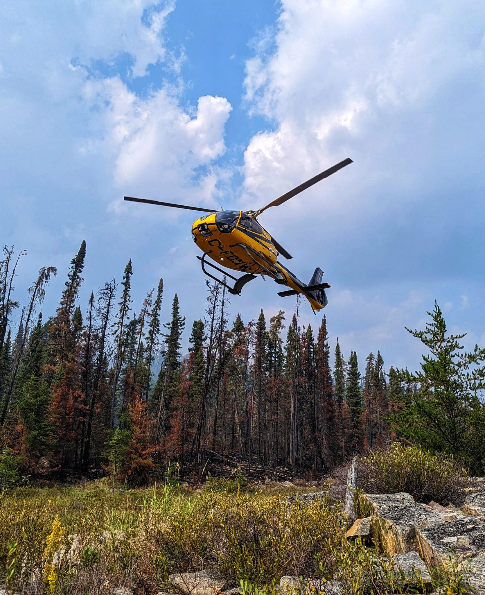
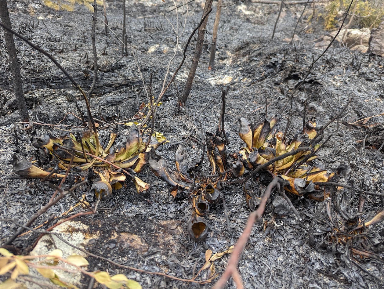
The project explores how different remote sensing datasets can quantify emissions from peatland wildfires. Lab-based pyrolysis and chemical experiments are used to evaluate the relation between fuel characteristics and fire smoke content. This is supported by field campaigns to Canada which have measured, from the ground and from fixed-wing aircraft, emission factors from boreal soils. A lot of the research work involved is developing and refining infrared hyperspectral remote sensing algorithms to measure emissions, both in the field and in the lab.

By improving our understanding of peatland emissions, particularly in relation to wildfires, we can strengthen the argument for peatland restoration and careful management, as well as providing improved estimates for emissions that can be fed into climate models. In addition, this research has potential to elucidate potential health concerns present from wildfires mobilising heavy metal content from the earth to the air.

Duration: 2022 – 2026

Images: by Luke Richarson-Foulger

Leadership Team

Understanding the complex interactions between fire, ecosystems, atmospheric chemistry, and climate is crucial for developing effective strategies for fire management, conservation, and mitigating the impacts of wildfires on both local and global scales. The main problem regarding emissions from fires is the limited understanding of their long-term atmospheric interactions and implications for regional and global air quality, climate, and human health. The current objective is to quantify gas and particulate emissions from fires through various methods. These techniques aim to provide comprehensive data on the composition and characteristics of emissions, aiding in better understanding their impact on the atmosphere, climate, and human health.


Duration: 2023-ongoing


Feature image: Carole from Pixabay

Leadership Team

Wildfires and other forms of landscape burning are complex, dynamic and in some ways difficult to predict and certainly potentially dangerous phenomena. Fires up to even extreme mega-fire events can be studied using the techniques of remote sensing and modelling, but these studies and those of smaller burns often need to be informed by and sometimes combined with data from in situ investigations, for example on the spectral properties of the fires if using remote sensing and on the different composition of their smoke and what controls that if estimating emissions. This in situ data can be collected in the field on planned burns or even on wildfires were possible, and can also be supplemented – where appropriate – by data collected in laboratory fires under more controlled conditions. The purpose of this technical postdoctoral project is to deliver the capability to make and analyse these measurements to support specific aspects of the Centre’s work on fire spectral signatures and smoke emissions, as well as wider investigations.

Project duration: 2019- ongoing

Leadership Team

Partners