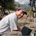
In recent years wildfires have made headlines in Australia, California, continental Europe and even the UK, and satellite data are the only way to robustly track and quantify the phenomena across such large scales, something that can now be done close to real-time. Two traits of particular interest are fire intensity and combustion phase (i.e. smouldering vs. flaming), which strongly influence the amount and chemical composition of smoke and in turn controls its impact on the atmosphere and on air quality. Whilst satellite data are commonly used to identify where fires are burning, there are no proven means currently of extracting these fire characteristics, and even detecting the fires requires use of manually tuned algorithms that are time-consuming to optimise.
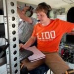
This project will explore the use of multi and hyper-spectral laboratory and airborne remote sensing in characterising landscape fires, and ultimately the use of such metrics to help improve and validate new information extractable from satellite observations of active fires.
This project is also co-supervised by Rob Francis, KCL.
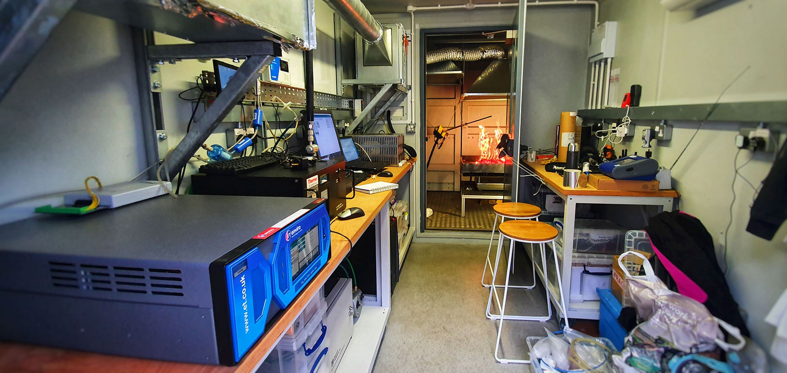
KCL combustion chamber at Rothamsted Research. Photo: Martin Wooster.
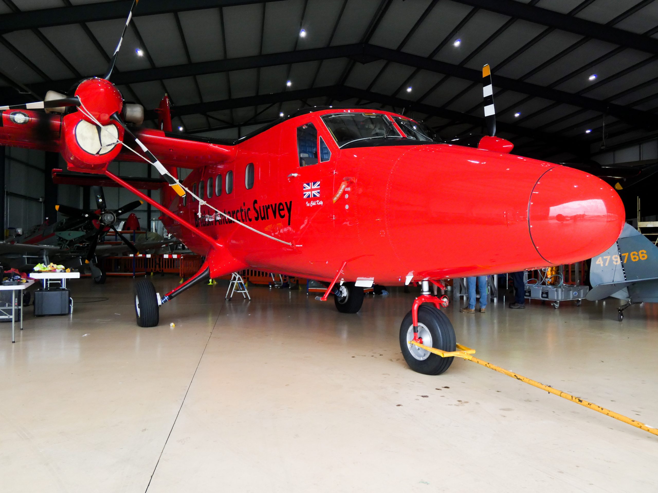
British Antarctic Survey aeroplane, fitted with KCL remote sensing equipment. Photo: Adriana Ford, Leverhulme Wildfires 2021