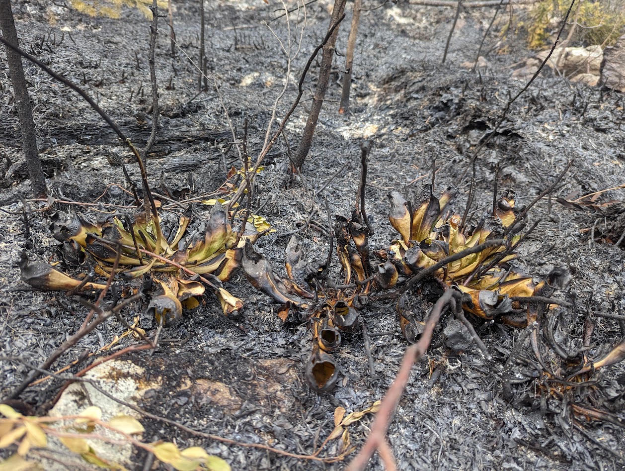
Peatlands are the world’s largest store of terrestrial carbon, an equivalent of around 2/3 of the carbon in the atmosphere is stored in boreal peatlands alone. Peatlands also support critical biodiversity and help protect from floods and drought. Wildfires pose an existential risk to peatlands and, since carbon is never fully re-sequestered, the climate. Estimates of emissions in literature don’t account for various critical determining factors, such as moisture content, carbon mineralisation, and metal content, as well as the dynamics of the water-table and peat surface.
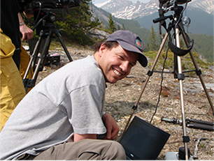
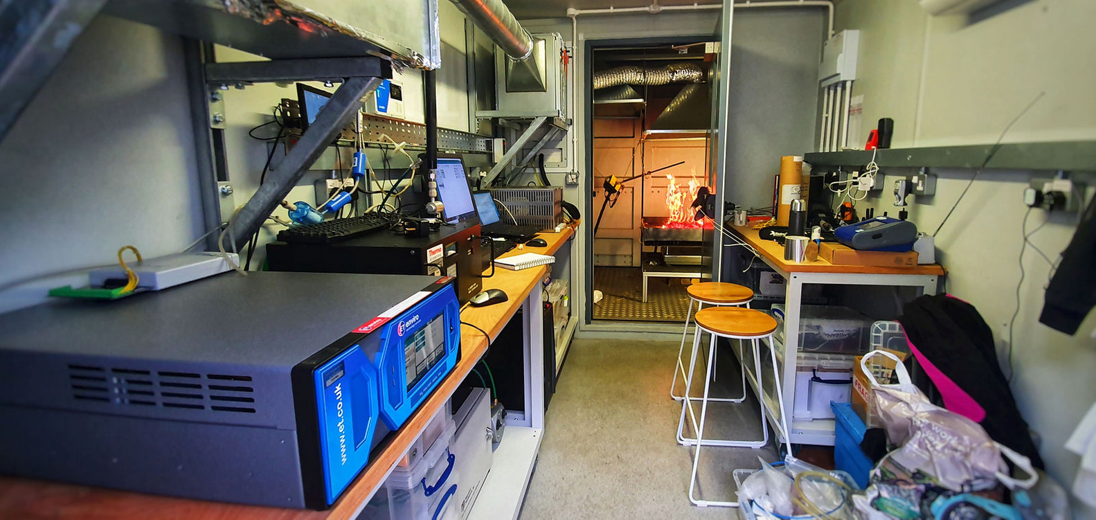
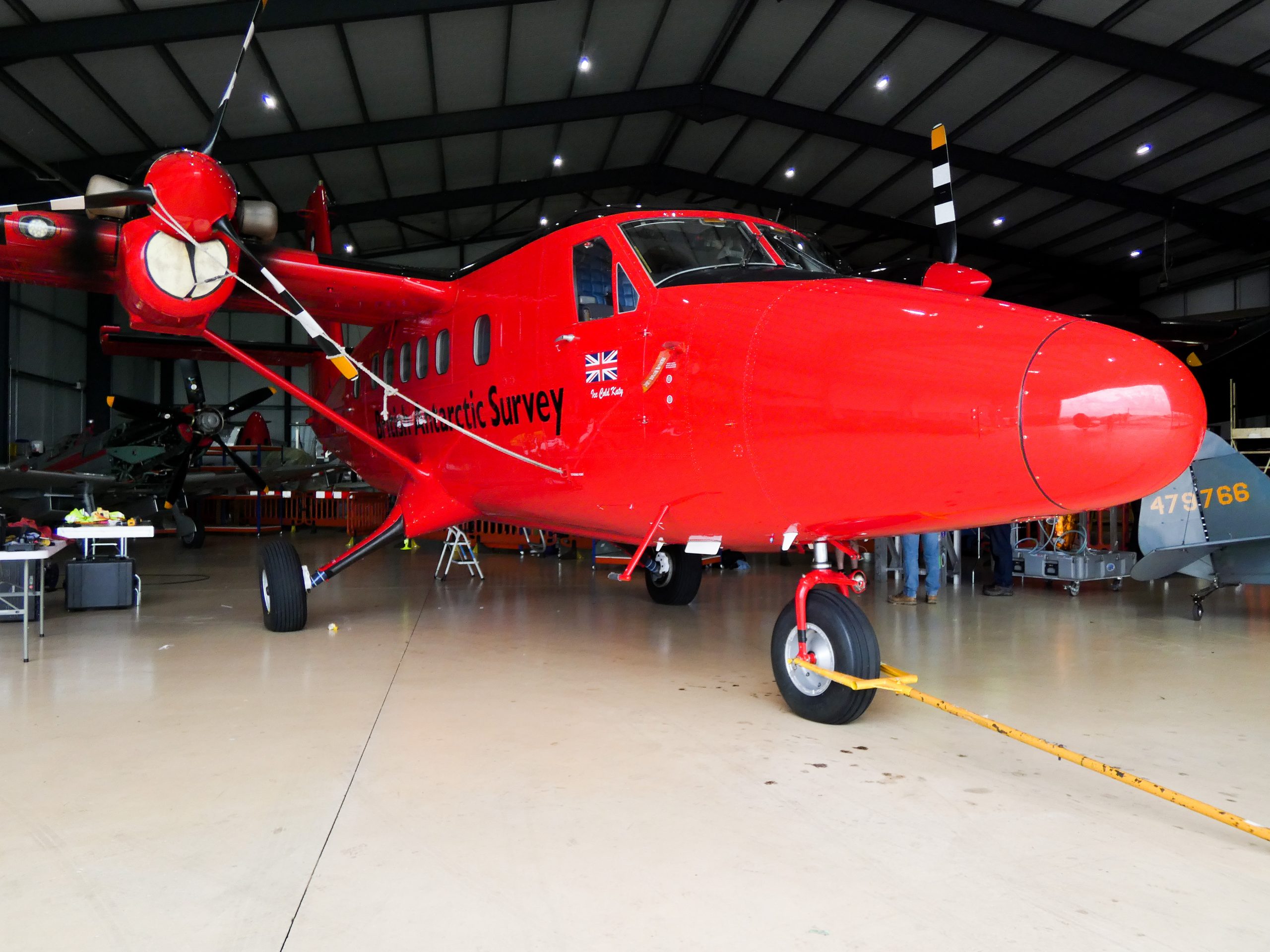
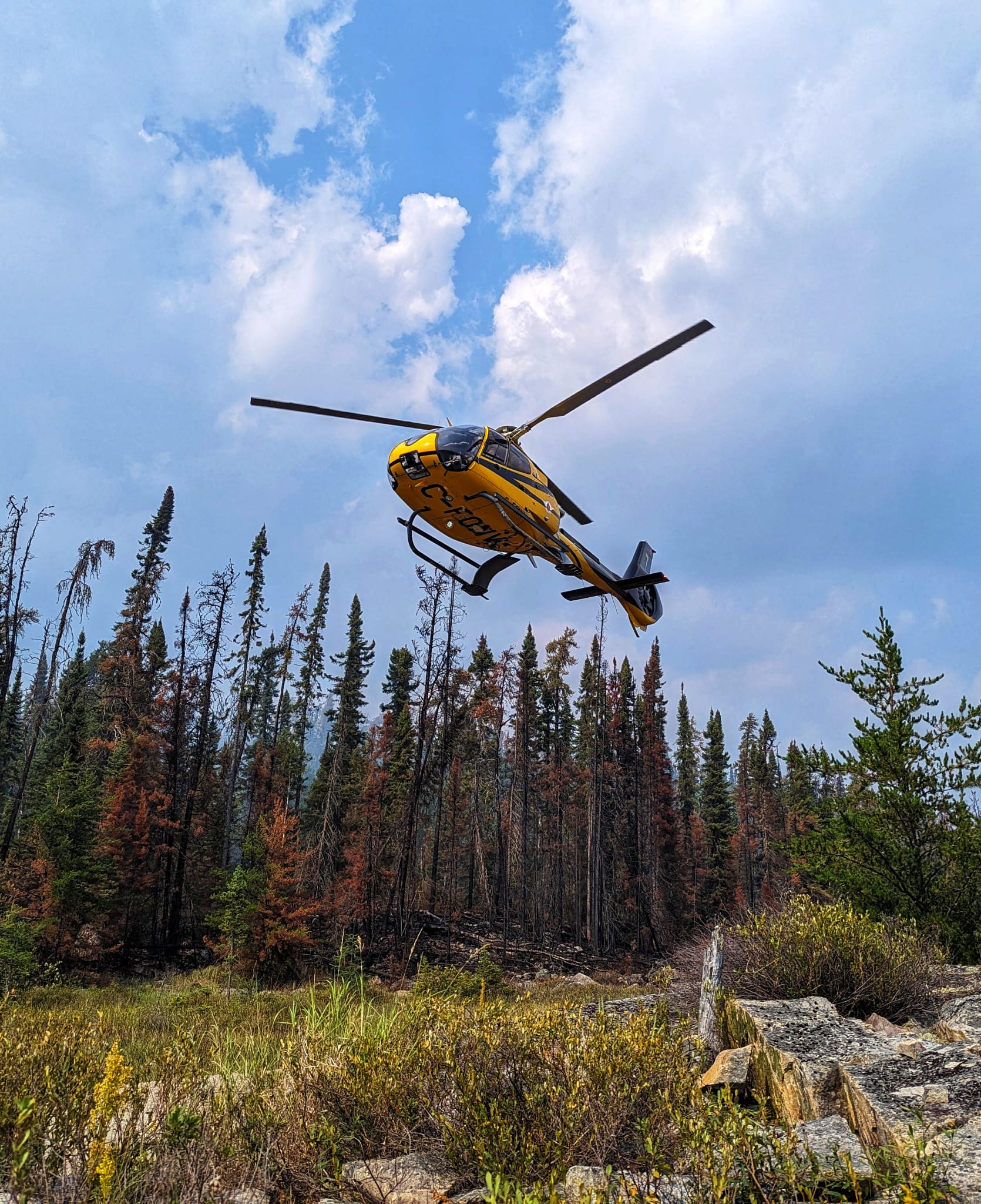
The project explores how different remote sensing datasets can quantify emissions from peatland wildfires. Lab-based pyrolysis and chemical experiments are used to evaluate the relation between fuel characteristics and fire smoke content. This is supported by field campaigns to Canada which have measured, from the ground and from fixed-wing aircraft, emission factors from boreal soils. A lot of the research work involved is developing and refining infrared hyperspectral remote sensing algorithms to measure emissions, both in the field and in the lab.
By improving our understanding of peatland emissions, particularly in relation to wildfires, we can strengthen the argument for peatland restoration and careful management, as well as providing improved estimates for emissions that can be fed into climate models. In addition, this research has potential to elucidate potential health concerns present from wildfires mobilising heavy metal content from the earth to the air.
Duration: 2022 – 2026
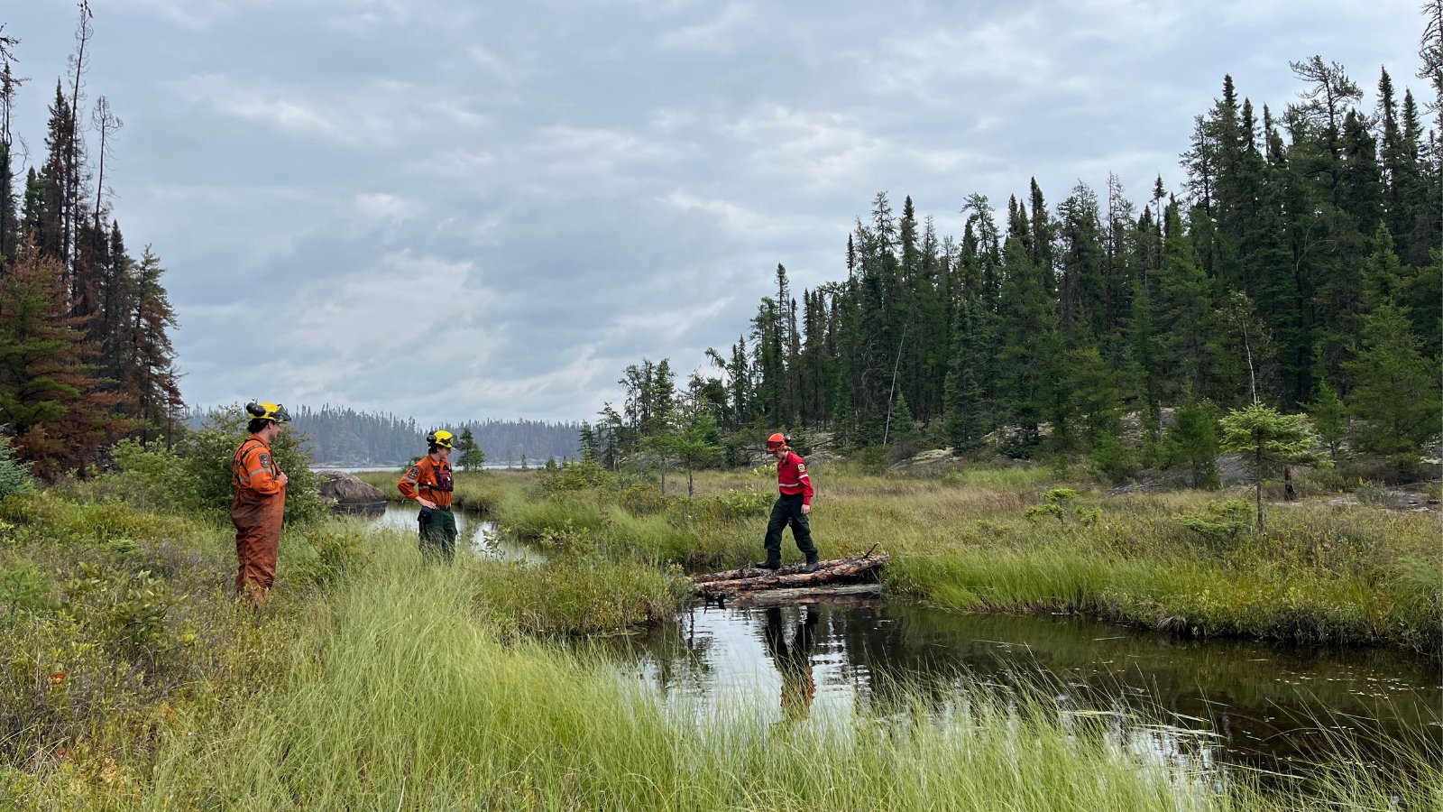
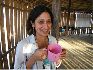
Images: by Luke Richarson-Foulger